Evidently, the Arctic has warmed more than twice as fast as the global average over the last 30 years. Due to global warming, the ice caps are constantly melting and causing climate change. We have lost Arctic sea ice at a rate of almost 13 percent in a decade, and over the past 3 decades, the oldest and thickest ice in the Arctic has declined by almost 95 percent.
Various agencies have started to realize this warning alarm and are rapidly working for its rescue. However, few are still looking to expand activities in the region for resources.
Satellites are being used to monitor climate change due to their capability to monitor the concentrations of greenhouse gases in the atmosphere, such as aerosols, water vapour, carbon dioxide, carbon monoxide, and methane. They also help in tracking data like global temperature, weather patterns, melting of glaciers and polar ice, and other numerous pieces of information.
The first satellite ‘TIROS’ was launched in 1960 to monitor climate change by the Radio Corporation of America (RCA).

The Geostationary orbit allows satellites to continually monitor a particular region uninterrupted. Satellites in a low earth orbit can directly monitor the climate from their position within or just above the atmosphere and can provide near-global coverage as they scan over different grounds with each orbit.
Watch Here:- TIROS-1: The Forecast Revolution Begins
List of Satellites monitoring Climate Change
-
Soil Moisture and Ocean Salinity:

Launched on: 2nd November 2009
Launched by: Europe Space Agency
Objective: To provide information on Earth’s water cycle & climate change.
-
Soil Moisture Active Passive:
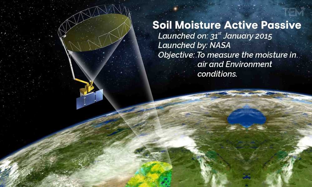
Launched on: 31st January 2015
Launched by: NASA
Objective: To measure the moisture in air and Environment conditions.
-
Orbiting Carbon Observatory-2:
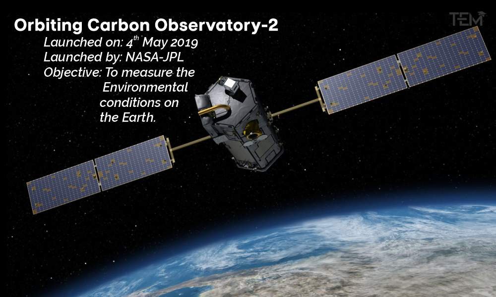
Launched on: 4th May 2019
Launched by: NASA-JPL
Objective: To measure the Environmental conditions on the Earth.
-
Aura:
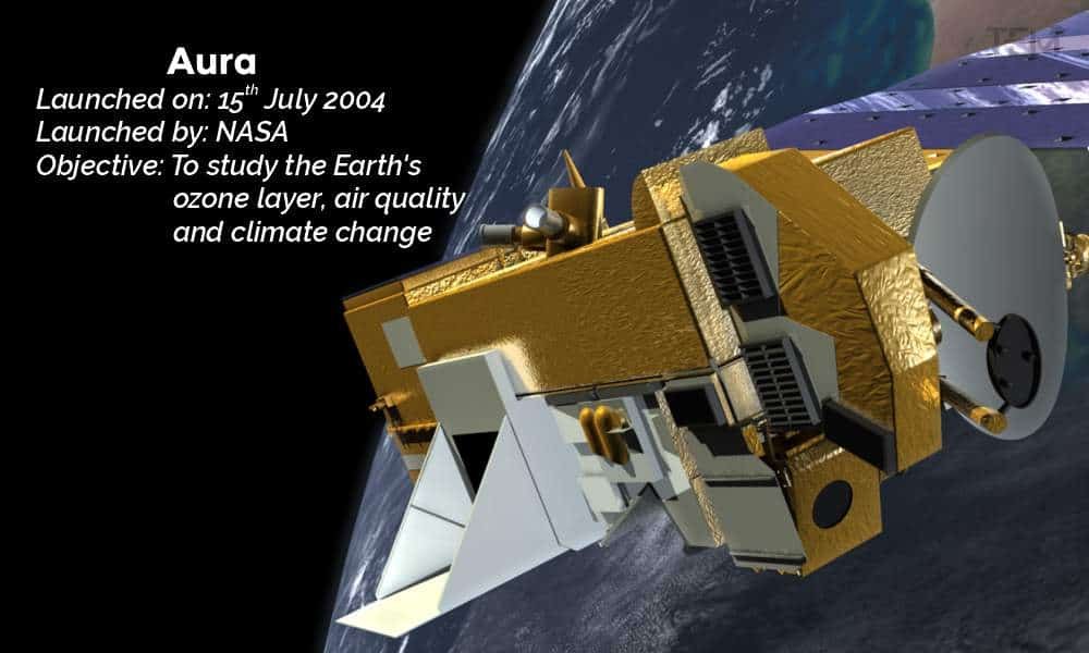
Launched on: 15th July 2004
Launched by: NASA
Objective: To study the Earth’s ozone layer, air quality and climate change
-
Solar Radiation & Climate Experiment:
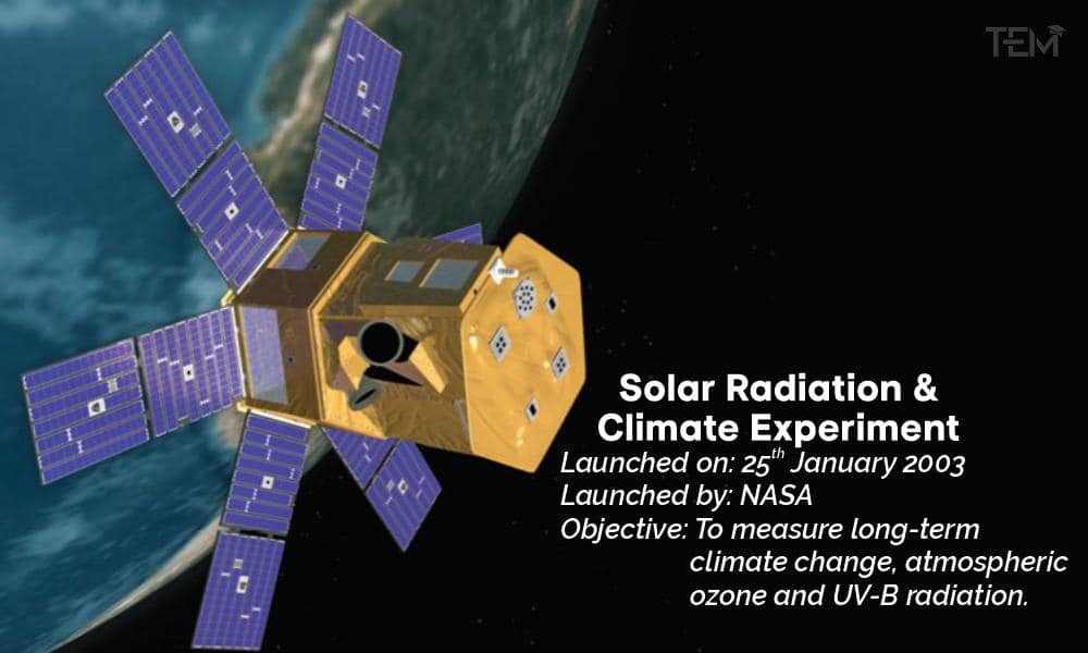
Launched on: 25th January 2003
Launched by: NASA
Objective: To measure long-term climate change, atmospheric ozone and UV-B radiation.
Why Satellite Monitoring is Essential?
With the help of bird’s eye view satellites can monitor numerous areas of Earth at the same time. This means that satellites can collect more data quickly than any other instrument on the ground. Also, a single satellite is capable to collect data based on various parameters that are not possible with an instrument.
Russia has recently launched a space satellite Arktika-M. The mission is to monitor the climate and environment in the Arctic as Moscow is seeking to develop an energy-rich region.
The Arktika-M satellite has successfully reached its intended orbit after being launched from Kazakhstan’s Baikonur
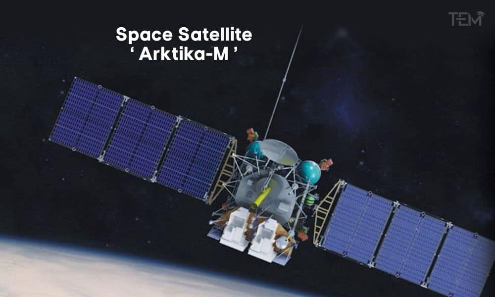
Russia’s Arktika-M is deployed in a highly elliptical orbit that passes high over the northern latitudes allowing it to monitor northern regions for lengthy periods before it loops back down under Earth. At the right side of the orbit, the satellite will monitor and take images of the Arctic at an interval of approximately every 15-30 minutes.
The satellite is also capable to retransmit distress signals from ships, aircraft, or people in remote areas as part of the international Cospas-Sarsat satellite-based search and rescue program.
Also Read, Climate Change Affecting Several Regions Drastically
